A lion's mane jellyfish in Budd Inlet. A "puffy" head (called a bell) and long tentacles behind.
"Clouds" of moon jellies in Budd Inlet. Read more about these here in my 2010 blog post.


Firday's cirrus uncinus clouds over Olympia resembled a parade of jellyfish. These are high, icy clouds with a puffy head and trailing ice crystals falling out in "tentacles" behind. The tentacles are called virga--a type of precipitation that evaporates before reaching the ground.

A lion's mane jellyfish in Budd Inlet. A "puffy" head (called a bell) and long tentacles behind.

"Clouds" of moon jellies in Budd Inlet. Read more about these here in my 2010 blog post.

What a great town! This is the view of Olympia, Washington, last night (June 17, Wednesday) around 9 p.m. Yes, those are the Olympic Mountains in the background, Capitol Lake in the foreground, and the clouds most everywhere else.
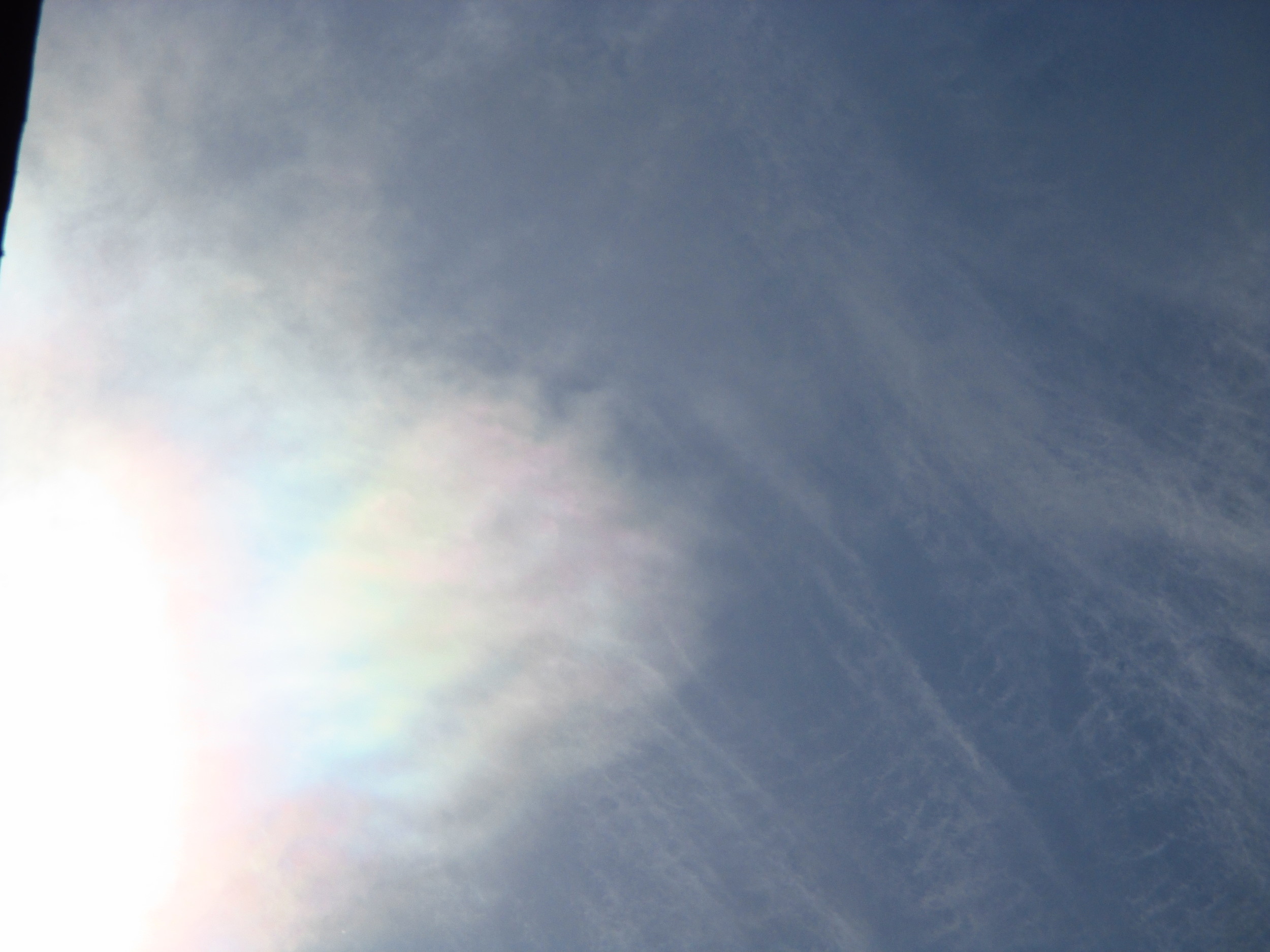
These are mid-level altocumulus clouds--one of the more challenging types of clouds to identify because they are so varied, occur in a wide range of altitudes (6,600 to 24,000 feet or 2-7 km above the earth), and because they look very different in the setting sun than they do in the daytime.
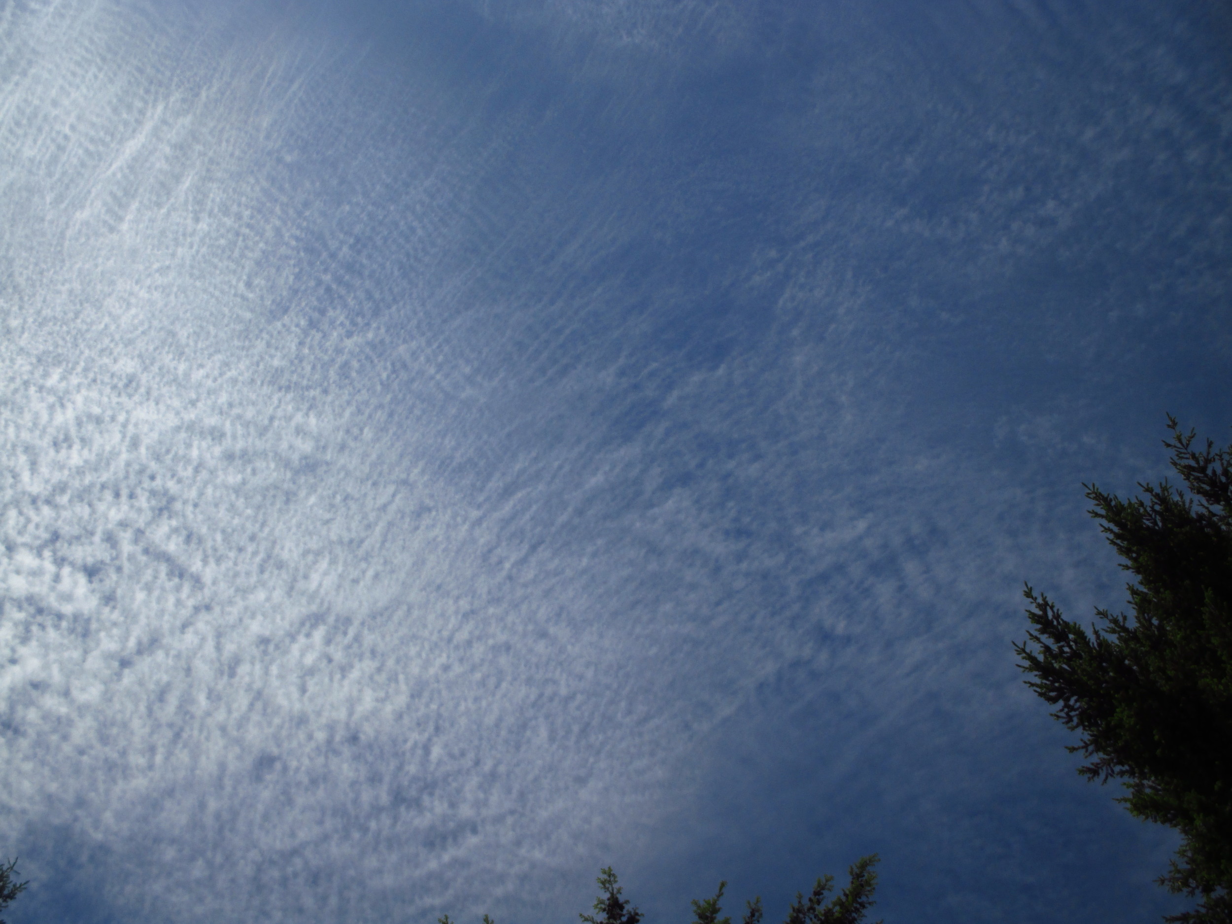
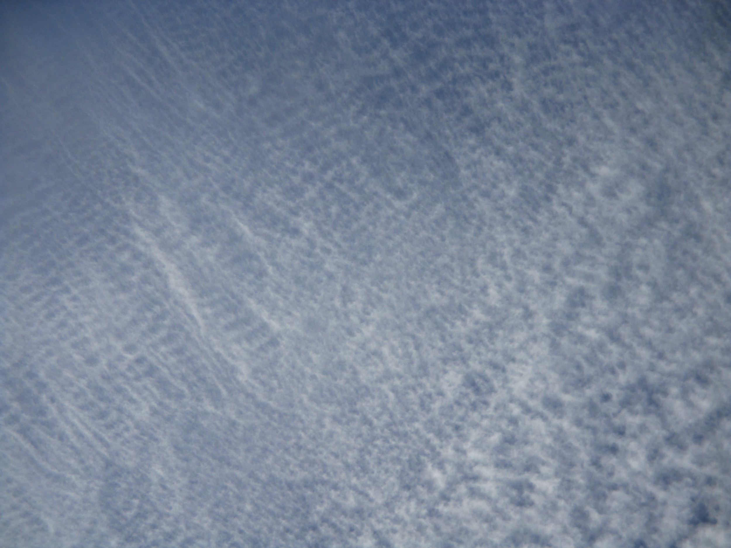
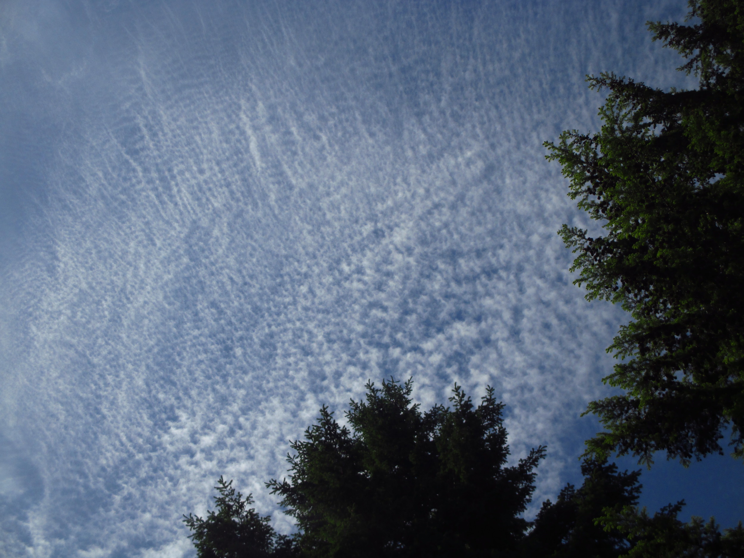
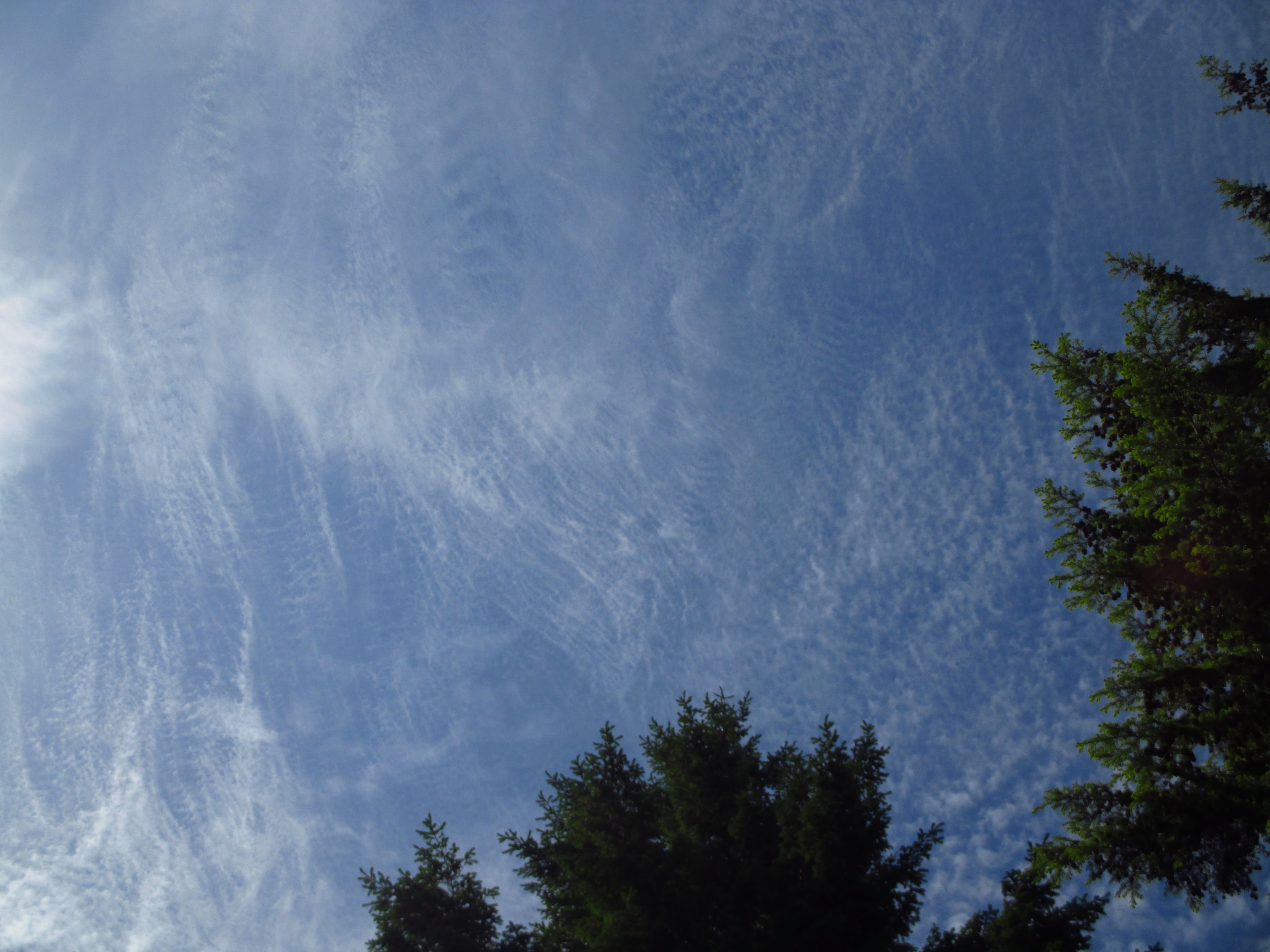

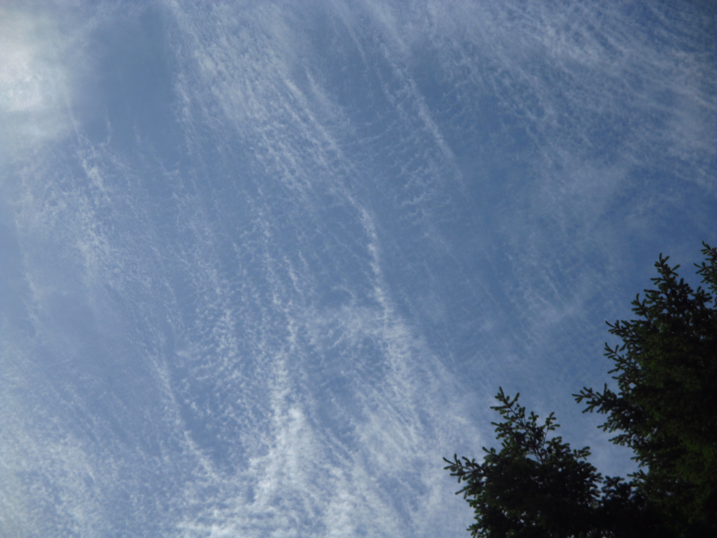
Sunday's clouds were spectacular. I hope you were looking up in the afternoon when these delicate cirrocumulus clouds appeared. They are high clouds--16,500 to 45,000 above the earth--and are composed entirely of ice crystals. These particular cirrocumulus clouds are known as cirriocumulus stratiformis. If you've had a smattering of Latin, you know that strata means layer and formis means form. So, these clouds take the form of a layer--an extensive layer in this case, and not a patch.
The photo above is one of several I took and posted here (as a slide show, tap image to advance). If you look carefully on the right side of the photographs you'll see lacey little holes, almost like a honeycomb or lattice pattern. This feature is described as "lacunosus" meaning a pit, gap, missing space or part (aka holes). This feature is rare and doesn't last long when it does appear.
These lovely cirrocumulus stratiformis arrived after a long spell of foggy mornings (stratus clouds) and hot, sunny days. Weatherwise, they indicate a change--usually rain in 9-196 hours (!) as the my "Guide to the Sky" poster tells me. Wouldn't you know it, it was raining Monday morning. While I was sleeping, a steady progression of clouds moved across the sky--likely the typical sequence from high cirrocumulus to mid-level altostratus and then to low nimbostratus, the rain clouds.
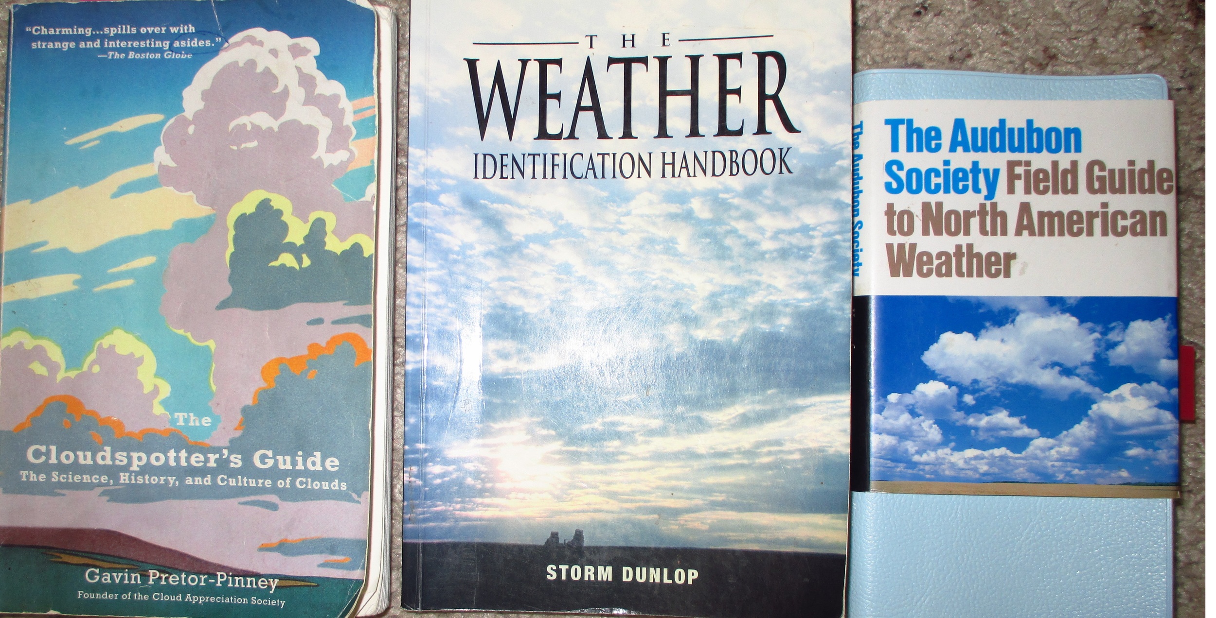
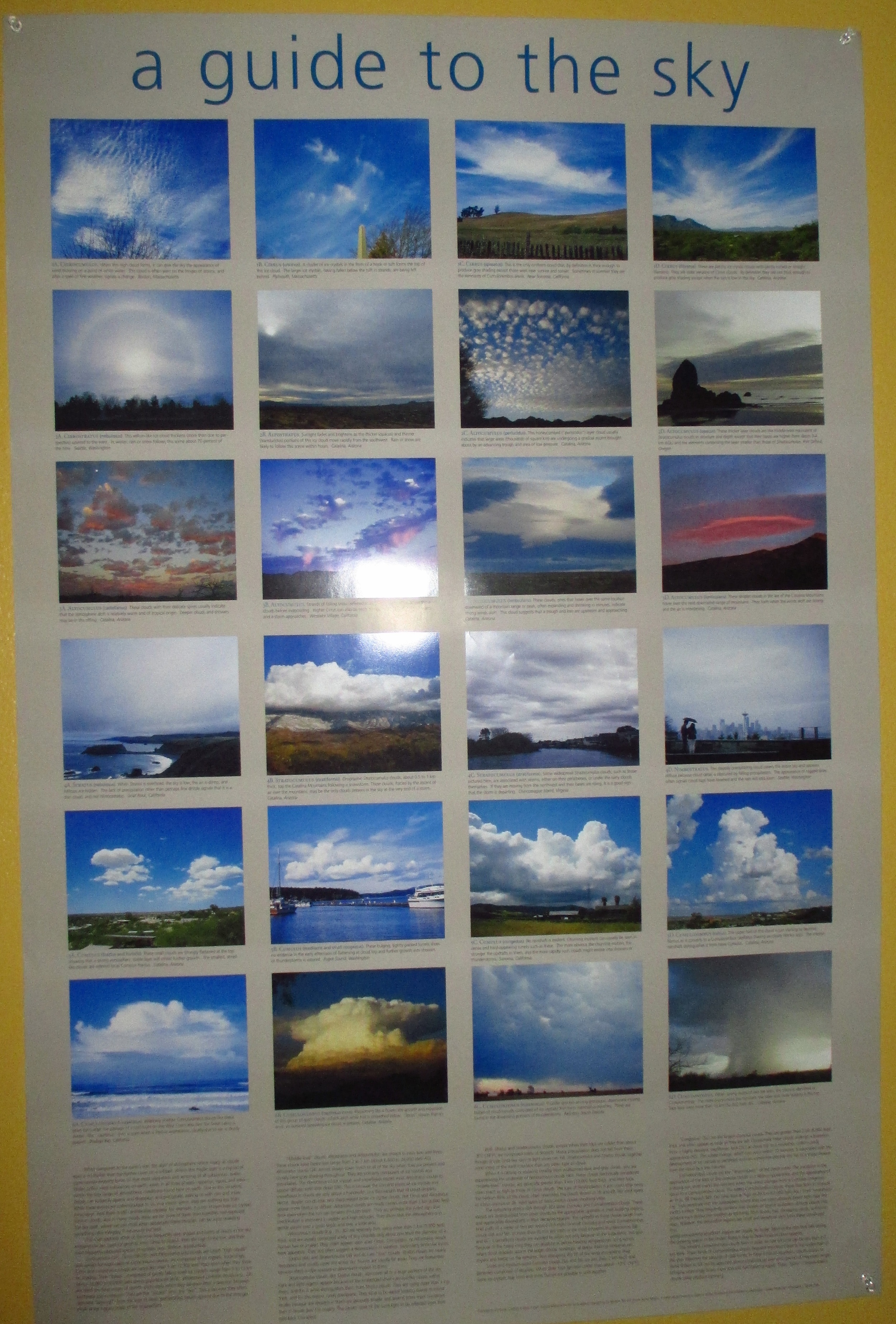
In the photo slide show posted here are two photographs--not of clouds--but of my four favorite go-to resources for identifying clouds. First, I consult my big "Guide to the Sky" poster pinned next to my cloud-viewing window. Then I go my Cloudspotter's Guide, the Weather Identification Handbook, and then the Audubon Society Field Guide to North American Weather. Yes, I need all four. The latter two are more about clouds than weather and have excellent photographs of all the cloud types and myriad forms.
There is no Field Guide to the Clouds. There should be, but since the cloud's field marks are constantly changing, I cannot imagine anyone would undertake such a a book--when would you stop taking photographs? This is not the book I am writing on clouds. Though my book will help you learn how to identify them. When I get it finished. When I can stop looking up and get to work.

What a grouch pot.
I follow University of Washington meteorologist Cliff Mass's Weather Blog but Monday's on "June Gloom" confirmed that many people prefer clouds when they accompany a wallop of dramatic weather. The more subtle clouds such as the stratus--the force behind the "June Gloom" are maligned as boring, oppressive, and frustrating to life itself. Here is what Mass says about them in his blog:
"June Gloom, one of the frustrations of life west of the Cascade crest, has arrived early and the results--incessant low clouds--have arrived."
He doesn't even use their proper name--stratus--to identify these low, layered clouds! They are merely "incessant low clouds" that are an impediment to a Pacific Northwest lifestyle. Sure, we got a delicious taste of summer in early May this year, but that doesn't entitle us to non-stop blue skies and fair-weather cumulus clouds from that point forward.
Stratus--the lowest of the ten basic cloud types--is one of my favorites, especially fog. Fog is the lowliest form of stratus cloud as it's base touches the surface of the earth (ground or water). It can hang around and make you feel gloomy, but when I started writing my book on clouds, I realized it wasn't the fog that caused this feeling. It was the fact that I was under a roof, under a ceiling, and not out in the fog.
Walking in the fog is anything but gloomy. Try it. It is rarely one shade of gray and rarely uniform in thickness and opacity. If you get up close to fog (or slightly higher stratus) you can actually see individual water droplets. Stratus clouds are not formed by thermals (the force behind cumulus clouds as described in my previous posting), but mostly as the water vapor in warm, moist air cools and condenses as it comes in contact with or passes over cooler water or ground.
I have written much about my ramblings in fog over the past few years. My most memorable ramble included a swim in the fog. And a hot tub afterward.
To read May 25th Cliff Mass Weather Blog click here.
Enjoy every cloudy June day!
May 27 UPDATE: Cliff Mass Weather Blog today features beauty of low clouds! Click here!