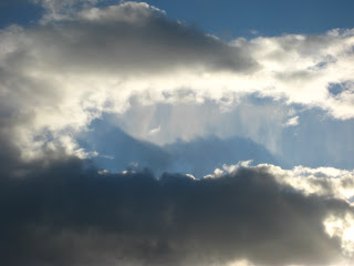
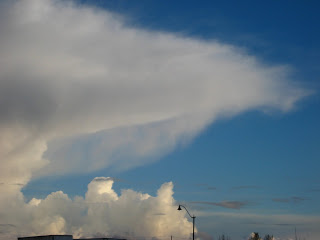
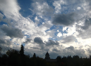
Yesterday afternoon the clouds out-did themselves with the help of the high winds and setting sun. I had been sitting inside most of the afternoon, but around 6 p.m. noticed the light coming in looked "wierd." My front yard was bright with sun, but there were dark, ominous looking clouds in the sky to the east. I stepped out my front door and did my "Holy Cumulonimbus Sky Monster, Batman! yelp, grabbed the car keys and camera and zipped over to an open field near my house to get the big view (above and below).
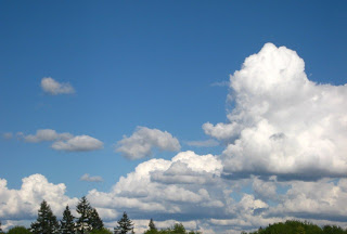
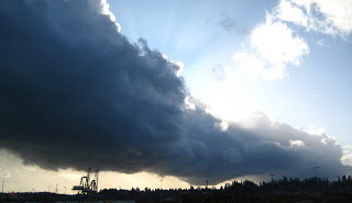
The clouds--cumulus congestus and cumulonimbus with anvils--are the result of a dramtic clashing of cold air aloft and sun-warmed air down below. The warm, moist (dare I say "spring" air) created powerful convection and the beautiful display of cumulus clouds. As they rose toward the bottom of the stratosphere, they "flattened out" and swept horizontally by the high winds.
University of Washington meteorologist Cliff Mass also took note of the drama and offers a more scientific explanation, some interesting satellite images, and a BIG storm warning on his excellent blog:
Cliff Notes
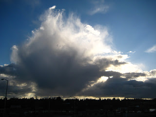
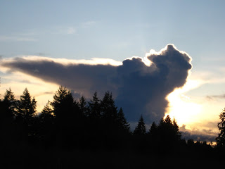
This photo shows the low cumulonimbus clouds, turrets, and the enormous anvil in the southern sky around 6 p.m. I just couldn't take my eyes off it as it moved across the sky. I felt I was watching a tidal wave in the form of a cloud.
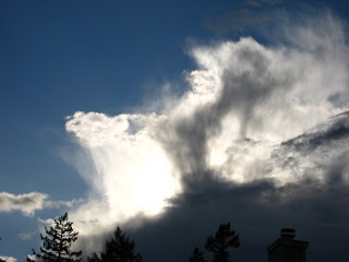
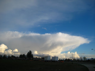
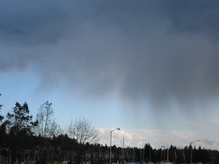
This close-up of the anvil shows a wispy "curtain" of clouds, which reminded me of a whale's baleen. I think it is actually rain or hail--but I'm not sure. I am sure it's not baleen.