• Home
  • The Bird with the Flaming Red Feet
  • Rare Bird: Marbled Murrelet
  • A Sideways Look at Clouds
  • Author
  • Events
  • Blog
  • Contact
Menu

Maria Mudd Ruth

Street Address
City, State, Zip
Phone Number
author and naturalist
Homepage-Banner.jpg

Maria Mudd Ruth

  • Home
  • Books
    • The Bird with the Flaming Red Feet
    • Rare Bird: Marbled Murrelet
    • A Sideways Look at Clouds
  • Author
  • Events
  • Blog
  • Contact

Stratocumulus Clouds

July 22, 2014 Maria Mudd Ruth
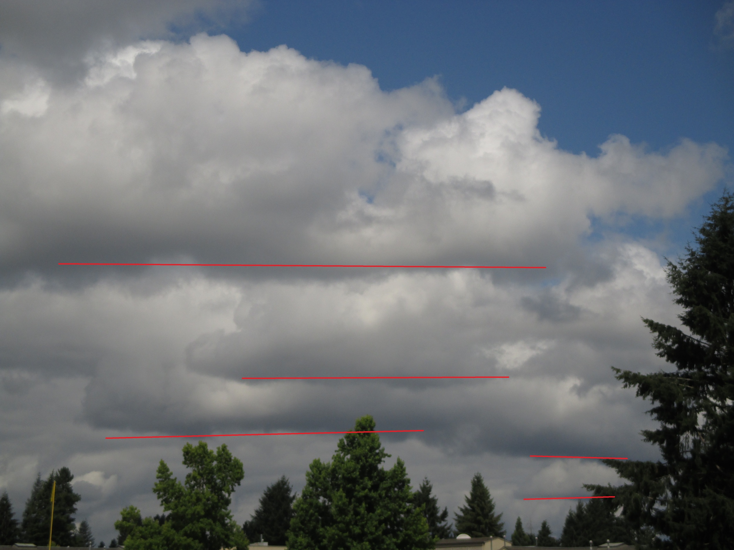
Stratocumulus clouds to the northwest of Olympia yesterday morning. The red lines (added by me) indicate the bases (bottoms) of these clouds.   (Photo by MM Ruth)

Stratocumulus clouds to the northwest of Olympia yesterday morning. The red lines (added by me) indicate the bases (bottoms) of these clouds.   (Photo by MM Ruth)

One of the more challenging aspects of watching the clouds is tricking your brain into believing, cloud-wise, that the earth is flat. I have to override my perception that the sky is a celestial dome covering the land from horizon to horizon like a huge mixing bowl covering a plate of brownies. It is not. 

Yesterday morning I was reminded of this when I noticed these stratocumulus clouds and their dark bases--the flat bottoms I have marked with red lines. Each of the red lines--hence, each cloud, is at the same altitude above the ground. It is.

The base of the cloud marks the condensation level--the altitude at which molecules of water vapor (the invisible gaseous form of water) in the atmosphere cool to the point at which the molecules slow down, condense, then glom onto each other to form liquid water droplets. When these droplets attain a certain size, they interact (refract, reflect, scatter) sunlight in such a way that they become visible to us.

How high all of these clouds? If you check the National Weather Service for July 21 at 10:54 a.m. (you cannot calculate this on your own),  you will learn that when I photographed these clouds, the temperature was 65 degrees F and the dew point (temperature at which water vapor condenses to liquid) was 49 degrees F. Subtract the second number from the first and you get 16. Multiply that by 228 and you get 4,648. This is the number of feet above the earth these clouds were floating. With enough practice I could imagine pointing to such clouds a few years from now and saying, "Look at the those strats!* I  bet they are nearly a mile high!"

Knowing how high these clouds are means knowing how high their bases are--not their tops. Stratocumulus is considered a "low" cloud type, with a a base hovers between 2,000 and 6,500 feet.

Read here how I figured all this out two years ago. Sort of.

*No one calls them "strats."

Tags clouds, stratocumlus
Comment

Hands-on Cloud Identification

July 17, 2014 Maria Mudd Ruth
What kinds of clouds are these? Aren't sure? Stratus? Cumulo-something? Do you need a field guide or an app? No.

What kinds of clouds are these? Aren't sure? Stratus? Cumulo-something? Do you need a field guide or an app? No.

It's not altocumulus, mid-level clouds with individual cloudlettes the size of your thumbnail when you hold it at arm's length 30 degrees above the horizon. (Some say altocumulus are between one and three fingers wide.

It's not altocumulus, mid-level clouds with individual cloudlettes the size of your thumbnail when you hold it at arm's length 30 degrees above the horizon. (Some say altocumulus are between one and three fingers wide.

It's not cirrocumulus, higher clouds with cloudlettes the size of your pinky nail (or rice grains some say).

It's not cirrocumulus, higher clouds with cloudlettes the size of your pinky nail (or rice grains some say).

They are larger than my fist....so they could be cumulus or stratocumlus but....

They are larger than my fist....so they could be cumulus or stratocumlus but....

...these are even bigger than my very large outstretched hand. The clouds don't have well-defined edges, flat bases, or the look of cumulus clouds. This leaves stratocumulus--a large, lumpy cloud that forms at low altitudes and is often formed as la…

...these are even bigger than my very large outstretched hand. The clouds don't have well-defined edges, flat bases, or the look of cumulus clouds. This leaves stratocumulus--a large, lumpy cloud that forms at low altitudes and is often formed as layered stratus clouds (fog) rise as they move inland over low hills. These clouds come in a variety known as stratocumulus fractus, which are the smaller (factions) of the stratocumulus cloud as it breaks apart or evaporates.

Sure enough, when I checked the National Weather Service's forecast discussion, the morning cloud cover was described as "low clouds" and "stratus" and were predicted to rise, evaporate, and give way to mostly sunny skies.

Tags cumulus, stratocumlus
Comment

Convective Debris

July 14, 2014 Maria Mudd Ruth
The weekend's turbulent skies made it a challenge to identify the types of clouds over South Puget Sound.  (Photo by MM Ruth)

The weekend's turbulent skies made it a challenge to identify the types of clouds over South Puget Sound.  (Photo by MM Ruth)

For a cloud-watcher like me, the past few days in the Pacific Northwest have been pretty dull, what with all that blue sky and sunshine and 95-degree days. The clouds didn't disappear entirely over Olympia during our heat wave. A few streaky cirrus showed up Friday night at sunset (a desperate play for attention) and piles of cumulus congestus lurked behind the east side of Mt. Rainier on Saturday.

Ah, but Sunday they came back in force to reclaim the skies and restore our corner of the continent as the cool, wet, gloomy-skied place that's looking pretty good to our vitamin-D-drenched neighbors in the Southwest.

The mild winds were shifting wildly on Saturday and the skies were kind of a mess on Sunday. There were many different kinds of clouds at different altitudes--making it hard to id them as anything but, ummm, stratocumulus fractus??  "Fractus" (same root as "fraction" or "fractured") is the word applied to the shreddy bits of clouds as the are deteriorating or evaporating.

I checked the the National Weather Service forecast description for Saturday and learned that the fractusness I was seeing was "CONVECTIVE DEBRIS FROM SCATTERED THUNDERSTORMS OVER OREGON AND THE SOUTHERN WA CASCADES."

Convective debris.  I love it! It's like saying cloudy junk.

No need to get uptight about naming all these clouds. Add "convective debris" to your cloud vocabulary and you're covered.

No need to get uptight about naming all these clouds. Add "convective debris" to your cloud vocabulary and you're covered.

Convective clouds are cumulus clouds--the ones that form puffs of varying sizes and include cumulus, stratocumulus, altocumulus, cumulus congestus, and cumulonimbus. The latter cloud produces the rain and lightning and "thundershowers." We didn't experience these events over the weekend in South Puget Sound; we got the side dishes and the leftovers, the "debris" from these clouds to our south.

And what beautiful debris it was.


Tags clouds, convective debris, stratocumulus clouds
Comment

Marbled Murrelets in the Wild

July 9, 2014 Maria Mudd Ruth
IMG_0245.JPG
CIMG2959.JPG
CIMG2960.JPG
CIMG2962.JPG
CIMG2963.JPG
CIMG2964.JPG
CIMG2965.JPG
CIMG2966.JPG
IMG_0240.JPG
IMG_0254.JPG
IMG_0259.JPG

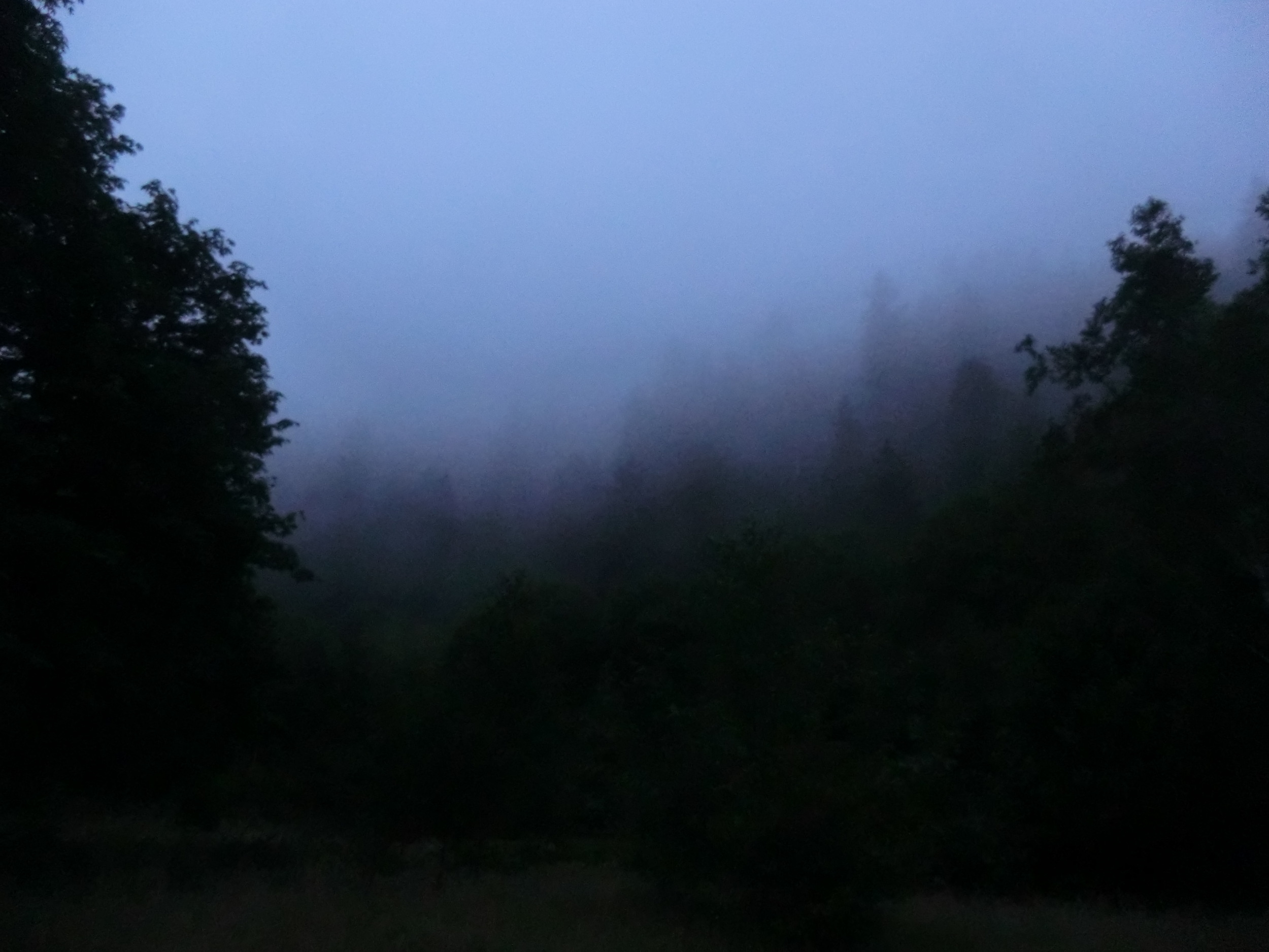
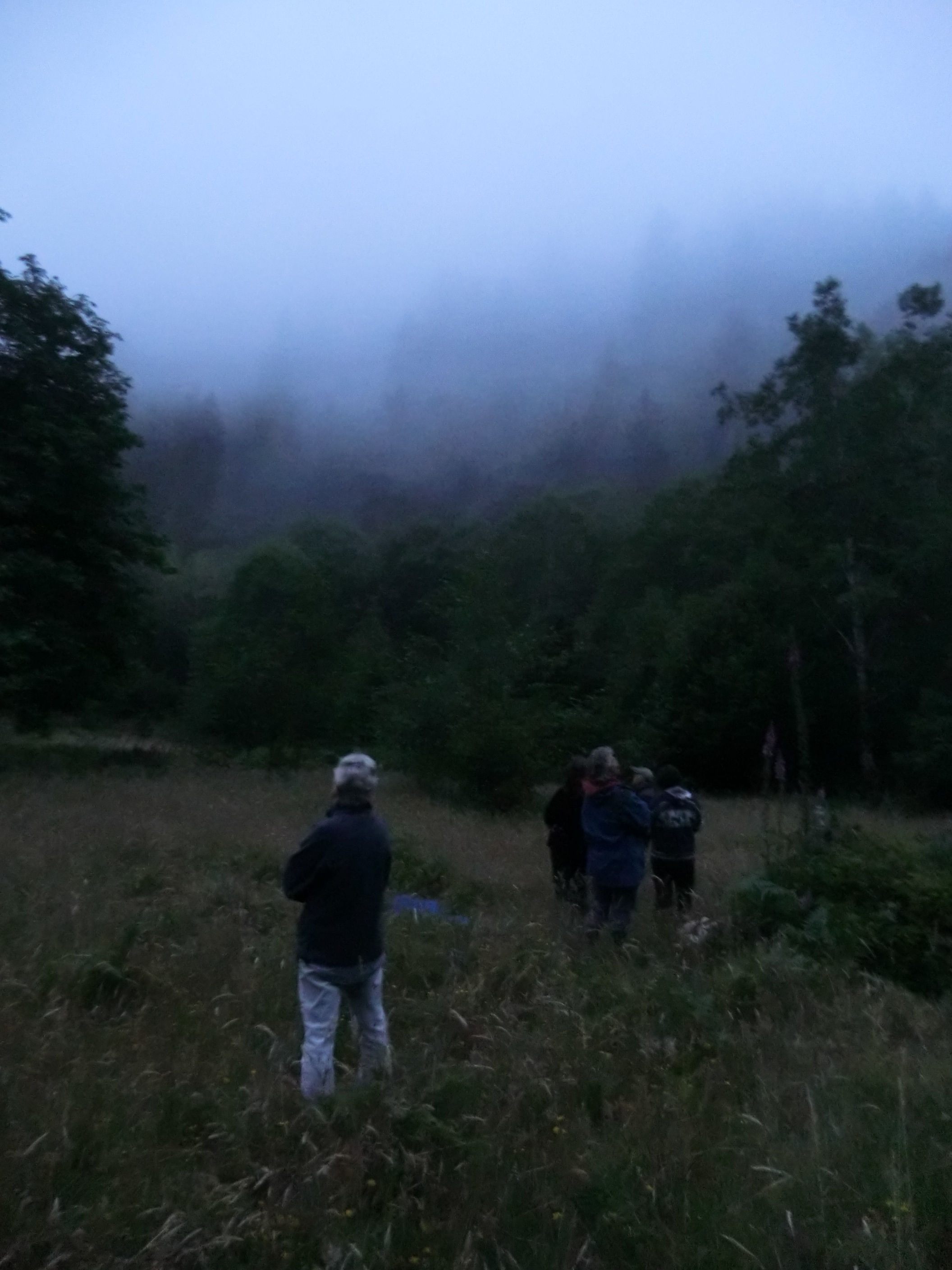
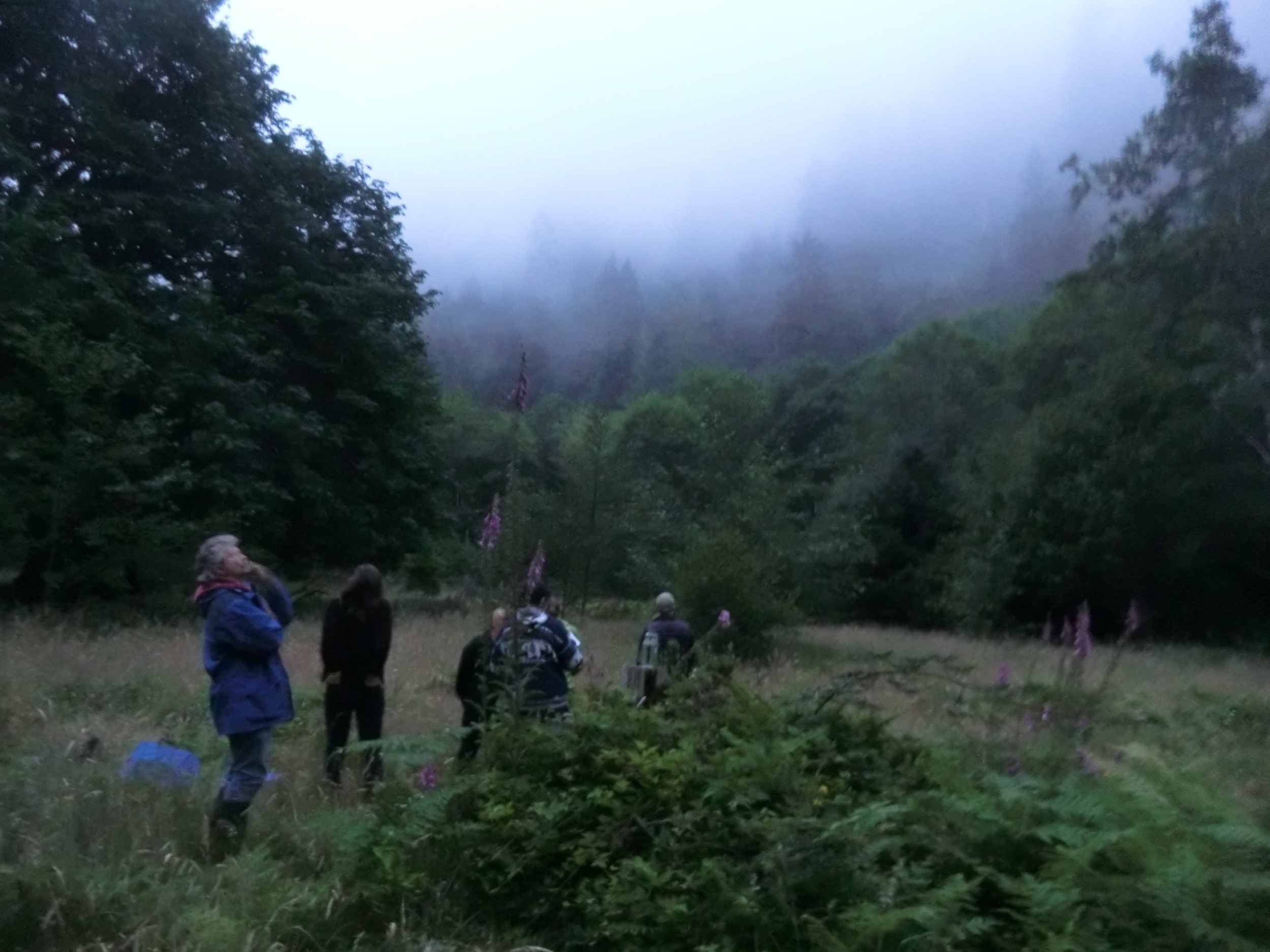
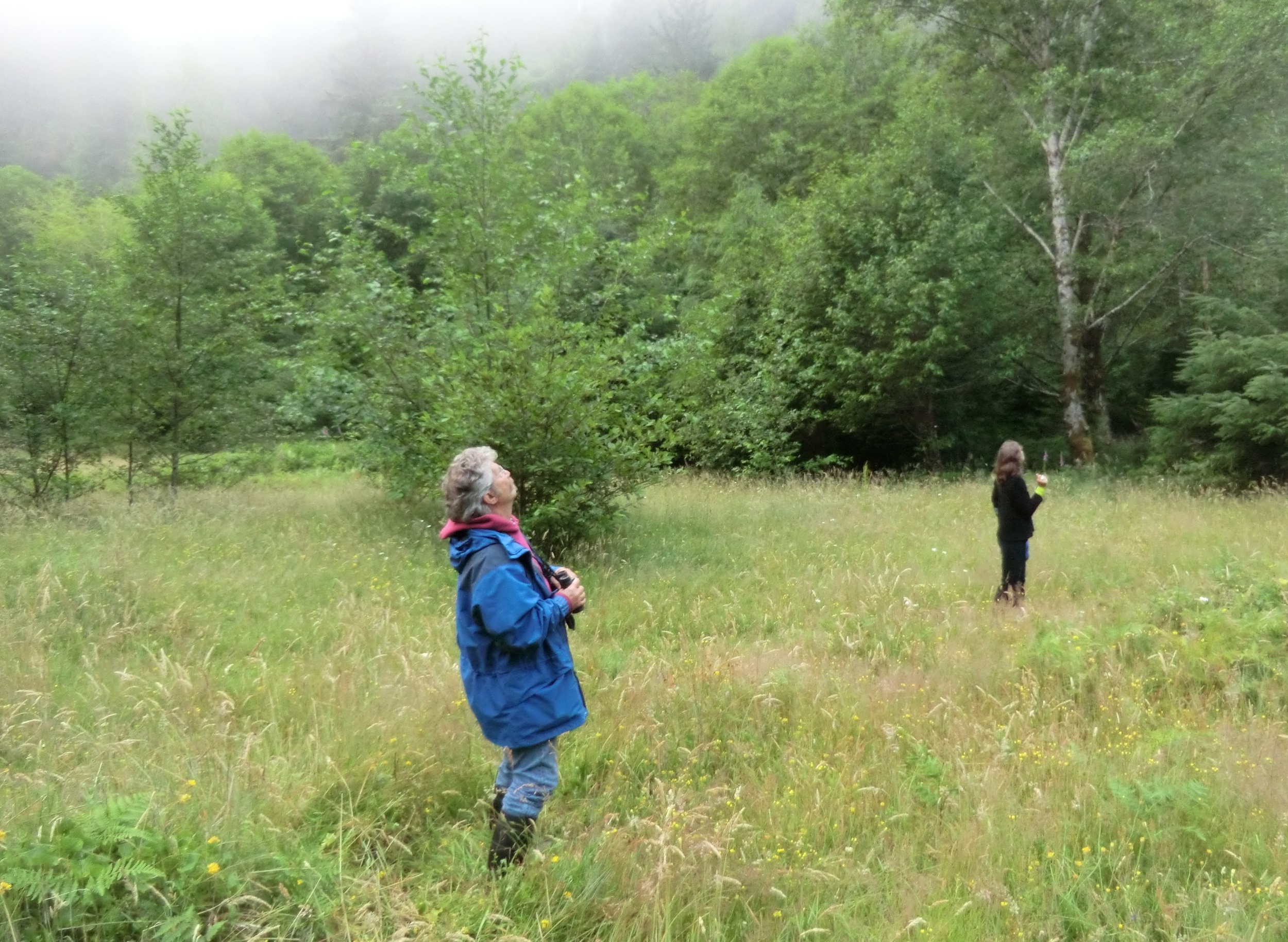
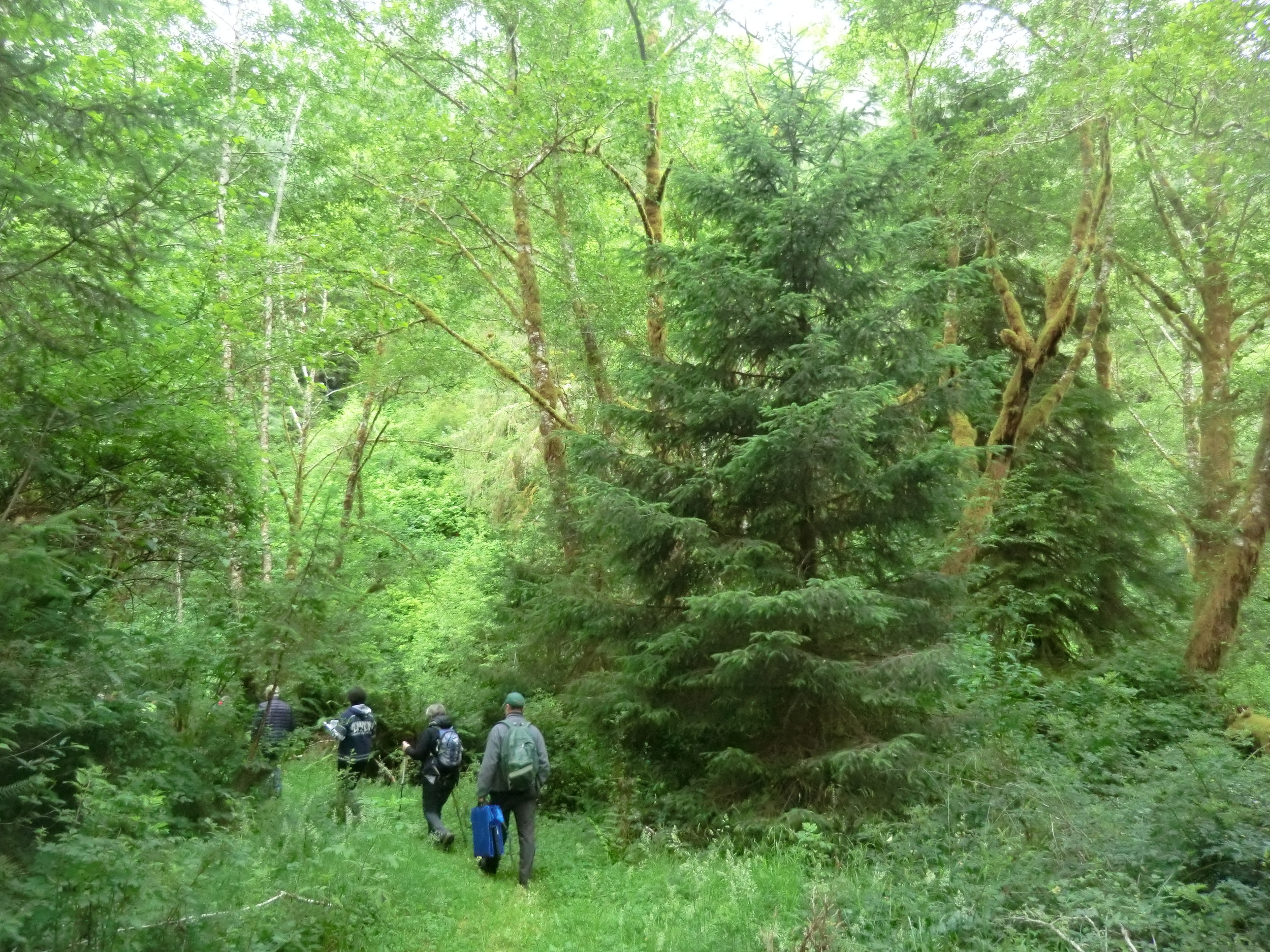
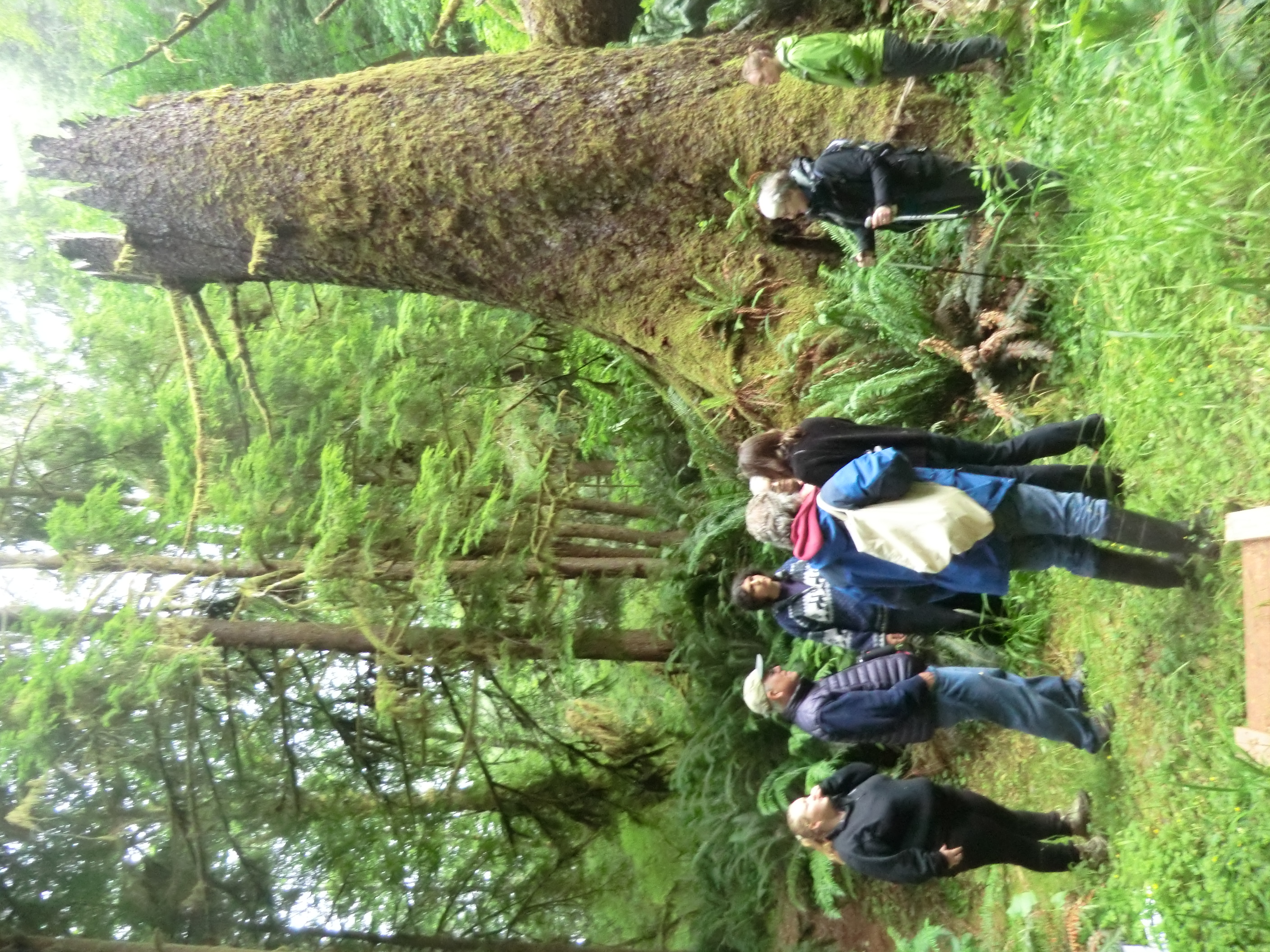
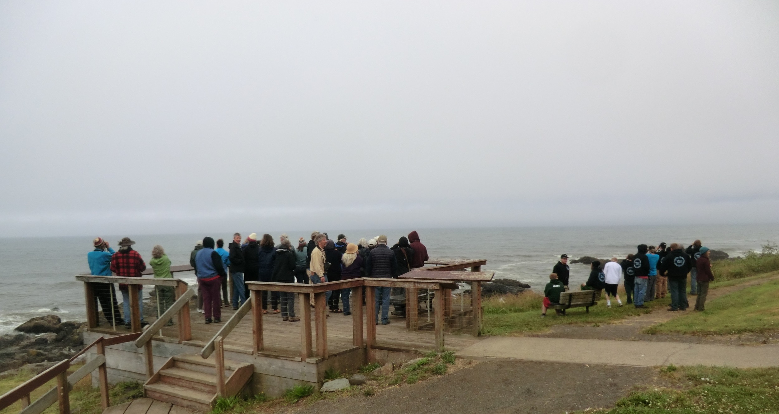
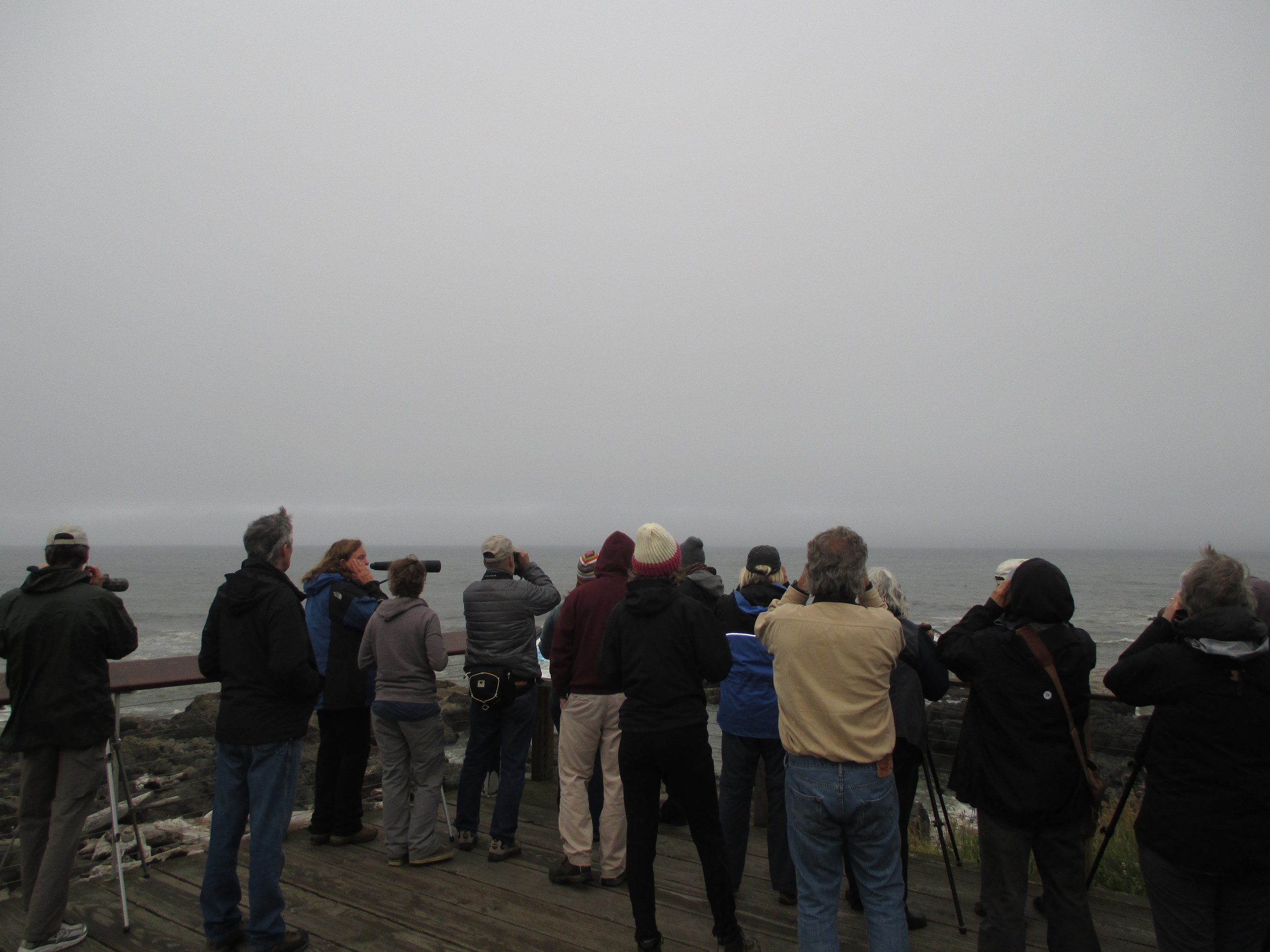
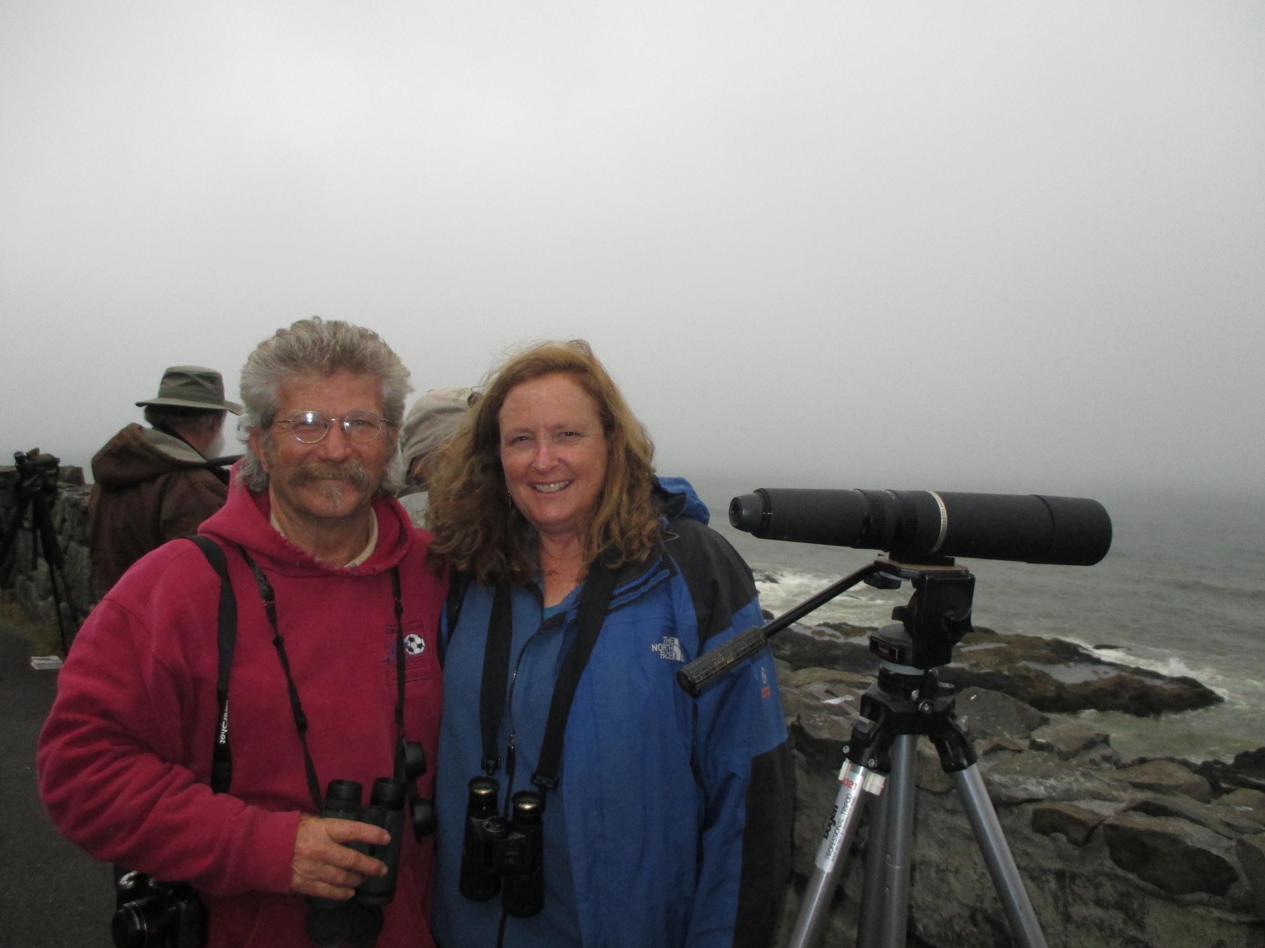
The Marbled Murrelets put on quite a show on the wild central Oregon Coast this week during the Portland Audubon Society's  9th annual Marbled Murrelet citizen survey.

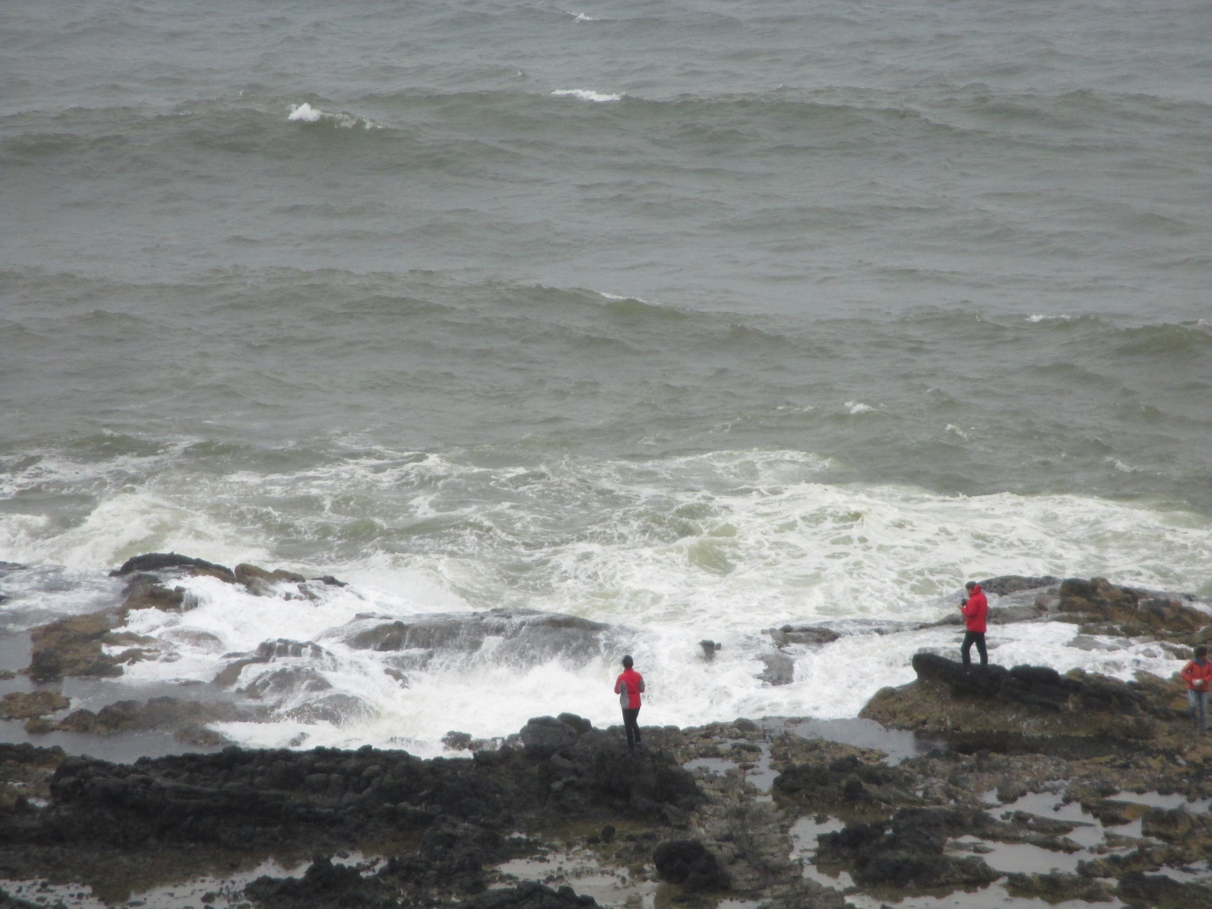
Please hover and click your way through the photo gallery above to see scenes from the morning survey in Audubon's Ten-Mile Creek Sanctuary (where sanctuary manager Paul Engelmeyer lead one of several groups of pre-dawn surveyors) and the coastal area near Yachats where we later observed these fast-flying, forest-nesting seabirds on the water just beyond the breakers (with the help of Kim Nelson, Oregon State University).

You might think that getting up at 4 a.m. is not your cup of tea, but you'll find yourself gulping in every minute of the morning when you are standing in a grassy meadow lighted with fog-diffused moonlight and across the creek from stands of old-growth spruce, hemlock, cedar, and fir. You can feel the life in this sanctuary where the forest is being lovingly restored to balance, where the dawn chorus of thrushes, robins, grosbeaks, and waxwings are so loud you fear they will drown out that cherished keer call of the bird you have come all this way to hear.

Luckily, there is nothing quite like the piercing call of the marbled murrelet. Our group of eight is intent on hearing the call and catching a glimpse of a fast-flying Marbled Murrelet as it flies from the ocean some three miles to the west and the old-growth forest where it are incubating an egg or feeding a chick.

It takes most of us a while to calibrate our ears to high-pitched call and to figure out where exactly to look in homogenous depth of gray fog to look for the tiny fleeting forms of the murrelet. It is easy to mistake mosquitoes and the floaters in your eyes for marbled murrelets.

Thankfully,  the murrelets called loudly, often, and gave us time to find them in the sky. Everyone got the hang of it. While many flew above or in the fog, we did  see many murrelets flying below the fog--in  solo, in pairs, and in groups of four and five. They made their keer calls and the "alternate" or "groan" calls--the one I think sounds like a murrelet impersonating a duck playing a kazoo. They circled over the meadow and behind the trees. They flew silently. They had us pointing, turning, spinning in the meadow. It was spectacular.

Knowing what I know about the marbled murrelet, one glimpse of this bird or one burst of keer calls is more satisfying to me than the experience I had the day before of seeing  thousands of Common Murres just offshore (below).

So common. Just one of the off-shore colonies of Common Murres (and  few cormorants) near the Yaquina Head Lighthouse, Newport, Oregon. You could watch, hear, study, photograph, or paint the 65,000 murres here all day long! (Photo by MM Ruth)

So common. Just one of the off-shore colonies of Common Murres (and  few cormorants) near the Yaquina Head Lighthouse, Newport, Oregon. You could watch, hear, study, photograph, or paint the 65,000 murres here all day long! (Photo by MM Ruth)

Alas, I have no photographs of marbled murrelets flying by, no recording of their calls--just the memory of their flight and the echo of their call to treasure.

Thanks to Paul Engelmeyer, Kim Nelson, the Audubon Society of Portland, and many others for all the work over so many day, months, and years, to make such an experience of a wild bird and a wild forest possible.


Tags Audubon Society of Portland, marbled murrelet survey, Oregon State Parks, Cape Perpetua, Common Murres
Comment
← Newer Posts Older Posts →

Subscribe

Sign up with your email address to receive my blog in your inbox.

Thank you!
Blog RSS

Flying from Mountaineers Books this Spring—the story of the Pigeon Guillemot—the world’s most charismatic alcid. This non-fiction natural history will be on bookshelves and available from online retailers on April 7, 2026. Click a link below to pre-order a copy now from these purveyors:

Mountaineers Books (non-profit, indie publisher based in Seattle)

Browsers Books (Olympia’s indie bookstore)

Bookshop.org (support your local bookstore)

Barnes & Noble (in the book biz since 1971)

Amazon

Other Natural History Titles by Maria Mudd Ruth…

A Sideways Look at Clouds


“Compelling…engaging.” The Library Journal

“Rare insights into the trials and joys of scientific discovery.” Publishers Weekly

Read more reviews and details here: Rare Bird: Pursuing the Mystery of the Marbled Murrelet

Enjoy this song by Peter Horne, "Little Bird, Little Boat, Big Ocean.” Written about the Marbled Murrelet, but the lyrics work well for the Pigeon Guillemot, too.

Peter Horne Little Boat, Little Bird, Big Ocean

  • Clouds
  • Natural History
  • Open-water Swimming
  • Lake Swimming
  • Washington Lakes
  • Wild Swimming Washington
  • Pacific Northwest Clouds
  • Books on Clouds
  • Meteorology
  • Wild Swimming
You must select a collection to display.

Subscribe

Sign up with your email address to receive my blog in your inbox.

Thank you!
Blog RSS

©2026 MARIA MUDD RUTH  |  ALL RIGHTS RESERVED